Rainy season is finally setting in, and there’s no better time to appreciate the clouds overhead. They do a lot: support biome variation, replenish freshwater supplies, regulate surface temperatures, purify the atmosphere, shield us from skin cancer (a little), and so much more. Though, their best trait might just be existing as sky decorations—they make looking outside a lot more interesting regardless of formation or generation, and there just so happens to be a lot of them. No, Billy, that’s not popcorn, that’s a stratocumulus lenticularis undulatus asperitas radiatus
There are 10 basic cloud types, classified by altitude, structure, and whether they produce precipitation. The sky is divided into three levels based on altitude: low (below 6,500 feet), middle (6,500 to 20,000 feet), and high (above 20,000 feet), and these levels influence a cloud’s composition and shape. Cumulus and stratus clouds are the most common and foundational cloud families, both found in the lowest section. When you picture a cloud, you’re probably thinking of a cumulus cloud, the fluffy, cotton ball-like formations. The name is derived from the Latin word meaning “heap” or “pile.” Stratus clouds, on the other hand, are the low, gray blankets that make up the gloomy, overcast days. These two shapes make up most of the possible “shapes”, with most other cloud types being variations. For example, stratocumulus clouds are a layered, puffy combination of cumulus and stratus, filling much of the lower-altitude region.
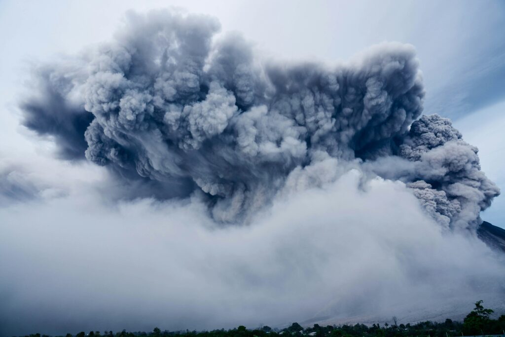
Moving up, altocumulus and altostratus clouds form in the middle altitude range. They’re thinner and less defined than the lower-level clouds. The prefix “alto” means “high” in Latin, but these clouds are actually in the middle of the troposphere. Supercooled water droplets and ice crystals are common in these clouds during colder seasons, and when altostratus clouds become saturated, they can form nimbostratus clouds, which are the most common source of steady, continuous precipitation. The other culprit for rain is the cumulonimbus, which is taller than it is wide and often spans across all 3 altitude levels. They form through convection, where warm air rises rapidly, cools, and condenses. Cumulonimbus clouds cause thunderstorms, hail, and other severe weather events.
Finally, high-level clouds form in the coldest part of the troposphere, where temperatures are far below freezing. As a result, these clouds are mostly made up of ice crystals. When sunlight interacts with these crystals, optical phenomena like halos and iridescence can occur. Cirrus clouds, with their wispy, feather-like appearance, are the most common in this region. Cirrocumulus clouds resemble altocumulus clouds but are more patchy, and cirrostratus clouds are thin, featureless layers that blend into the sky. Though these high clouds don’t significantly reflect solar radiation, they play an important role in weather forecasting and sometimes signal a change in weather.
Other than the standard types, there are tons of special cloud formations and spectacles that defy what we usually picture in the sky. At altitudes way higher than cirrus clouds, polar stratospheric clouds (aka nacreous clouds) shimmer with pastel hues during polar winters due to its high ice concentration. Even more extreme are noctilucent clouds, forming in the mesosphere and glowing electric blue at twilight—technically the highest clouds on Earth. On the flip side, fog is technically just a cloud that forms at ground level, making the drive to school a little more difficult. In storms, mammatus clouds are eerie, pouch-like blobs that dangle from cumulonimbuses and often look more intimidating than the downpour itself. For the ultimate optical illusion, lenticular clouds are shaped by mountain winds and stack into smooth, UFO-esque layers.

